Vietnam TOPO50
The Vietnam TOPO50 is the perfect map for all outdoor enthusiasts who have no limits while exploring the deepest wilderness in Vietnam. The Vietnam TOPO50 provides you topographic information for whole Vietnam on your GPS navigation system.
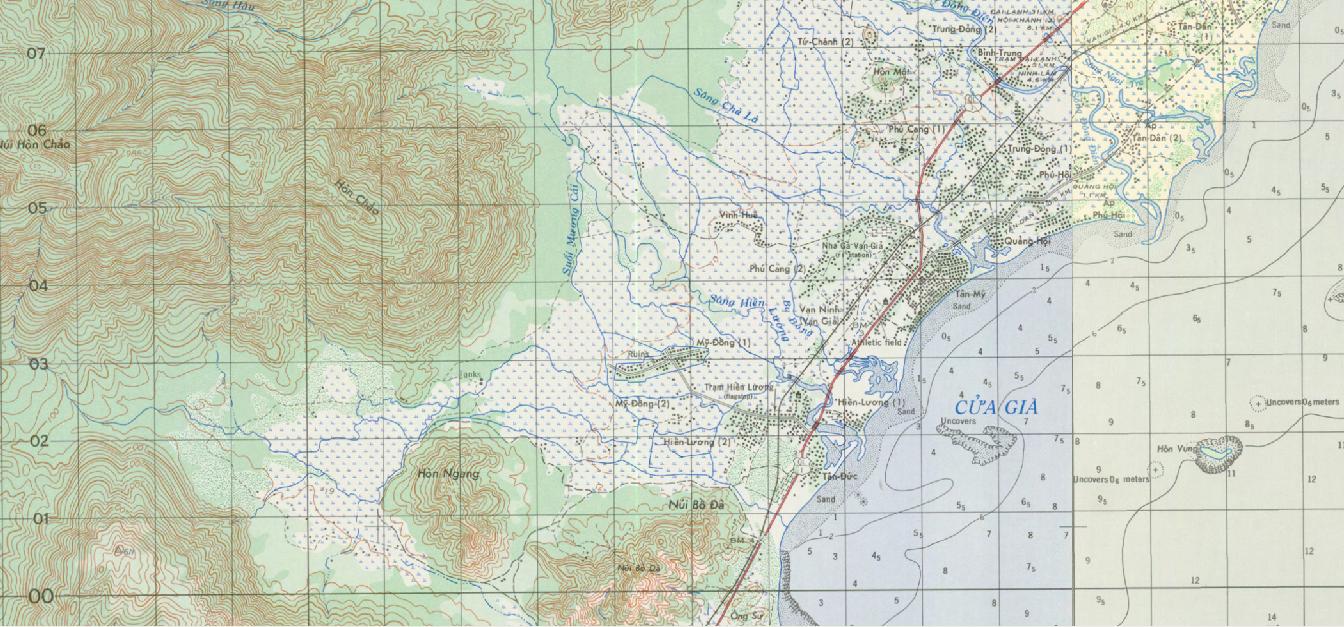
The map image of this digital map is the L-7014 series Topographic Line Map of the US Army Map Service. Map information varies as of 1965 to 1975. These are the same maps used by the US military in the Vietnam (American) War and are still the best and only one topographic map available for the Vietnam area.
- Covers whole Vietnam in 1:50.000 topographic map
- Ready-to-use map, no installation needed
- Works with every navigation device or navigation/GIS application supporting the particular raster map format
- Map image is produced by US Army Map Service, 1965-75
- Referenced in WGS84 map datum
Use the Vietnam TOPO50 with your prefered PC application. Prepare your trips, create waypoints, routes and tracks on the Vietnam TOPO50 and transfer them to your GPS unit.
Map Formats
This map product is available in different raster map formats which are supported by various navigation programs and GIS applications. These map formats are:
- BirdsEye/JNX file format for Garmin GPS receiver and BaseCamp
- ECW file format for TTQV, Fugawi, CompeGPS and others
- GeoTIFF file format for TTQV, Fugawi, CompeGPS and others
On request we can also produce this map in other map formats, for example in RMAP for Lotus Pro application.
Sample files can be downloaded here:
| Garmin JNX format (BirdsEye) | 4 files in the tiling equivalent to the ECW map format. All 4 files together have 1.32 GB. Important note: In order to use these maps on your Garmin device you must have a valid BirdsEye subscription for your GPS unit. For the use with BaseCamp only no subscription is necessary. |
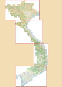
| ECW format | Whole Vietnam is divided into 4 map tiles for better file handling. Total storage space is approx. 2.6 GB. Horizontal datum is WGS84. Compatible with any navigation device or navigation/GIS application supporting ECW maps. |
| GeoTIFF format | Map is divided into 562 tiles according to the papersheets. The GeoTIFFs are in 8 bit color depth where each sheet has its own color palette (for better colorage). Total size is 3.16 GB. Horizontal datum is WGS84. |
| CompeGPS format (RMAP) | The map is similar to the ECW or JNX version. The map-files can be copied directly on your CompeGPS TwoNav device. Horizontal datum is WGS84. |
Price of the full map is 249 USD. In case you do not need whole Vietnam we can also produce a custom-area map for lower price. For this please provide us the borders of the area needed (in geographic coordinates LAT/LON), and we will send you an offer.
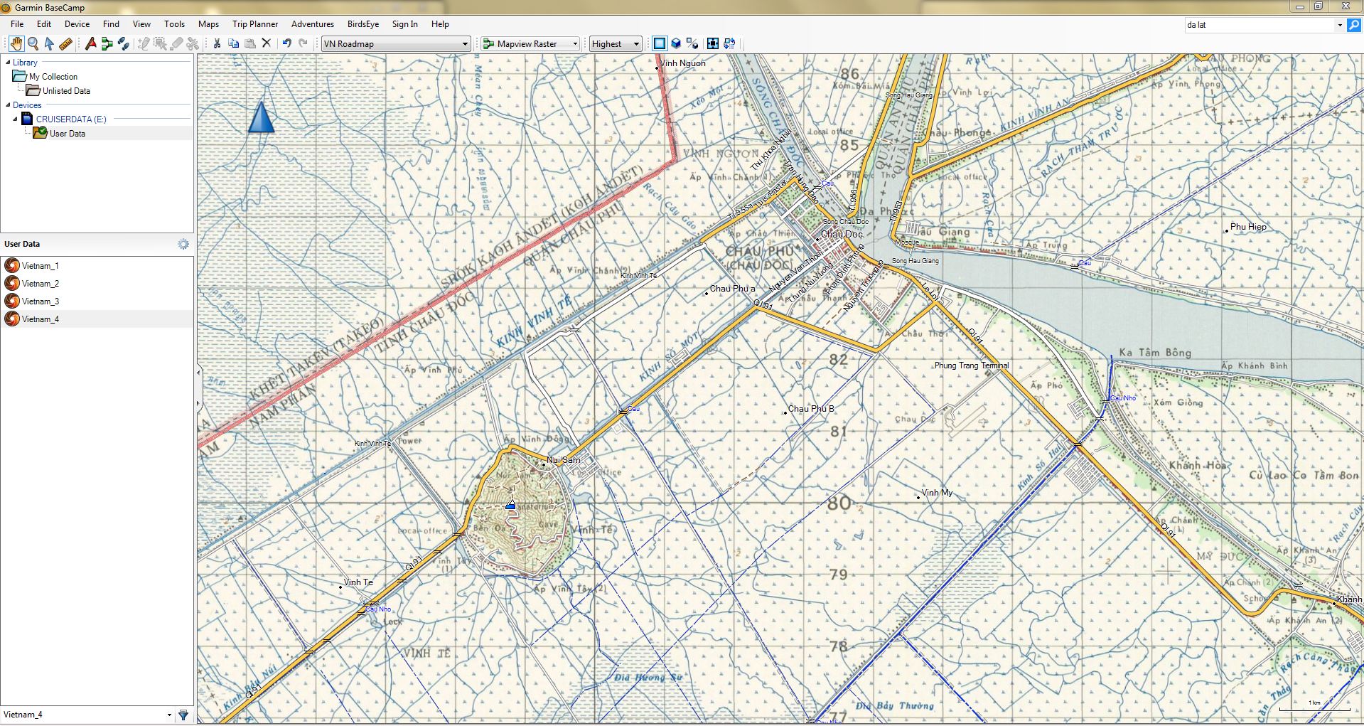
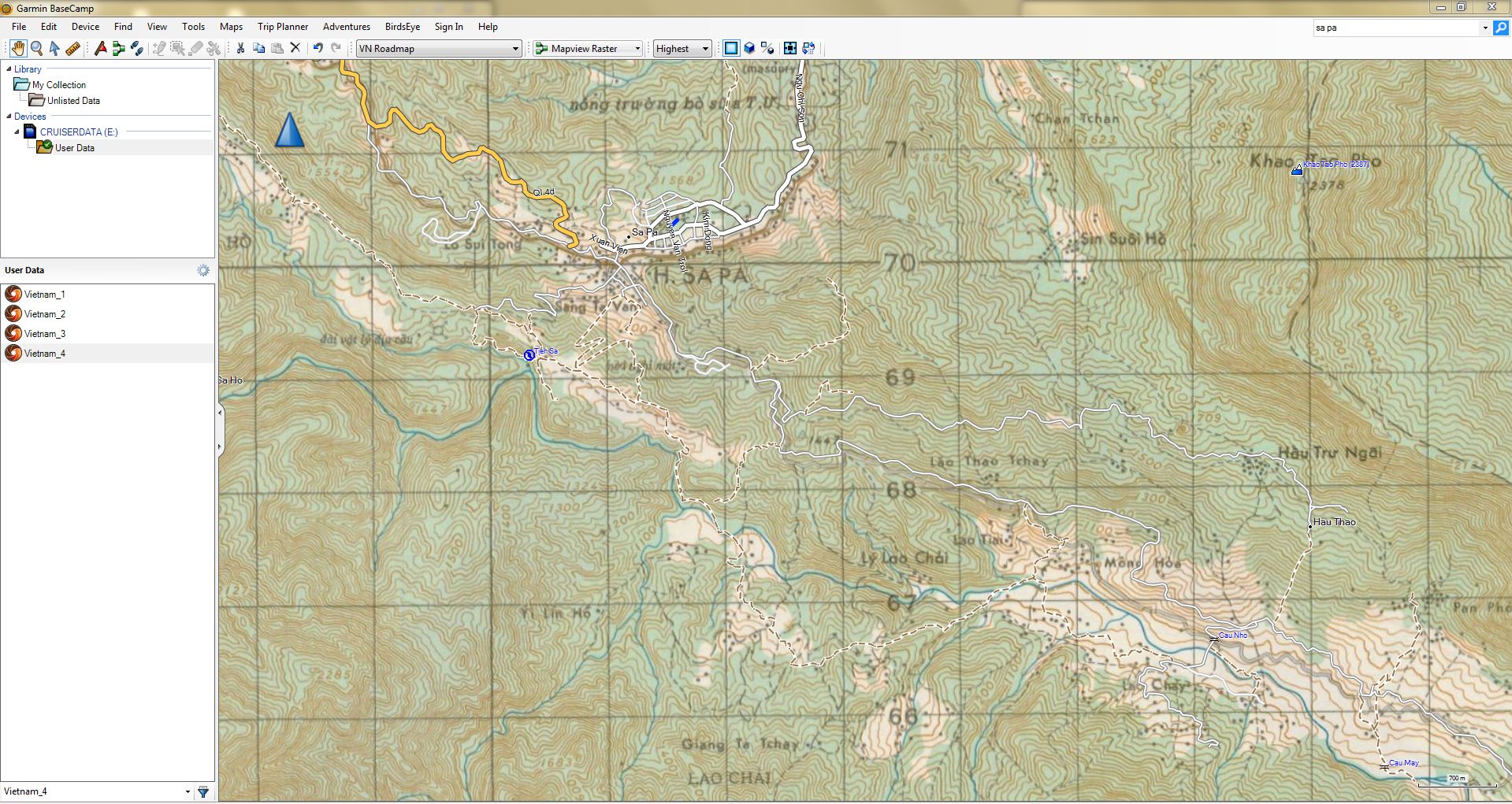
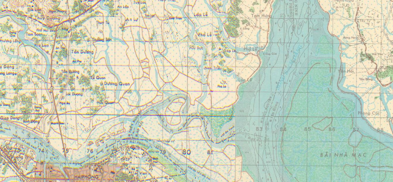
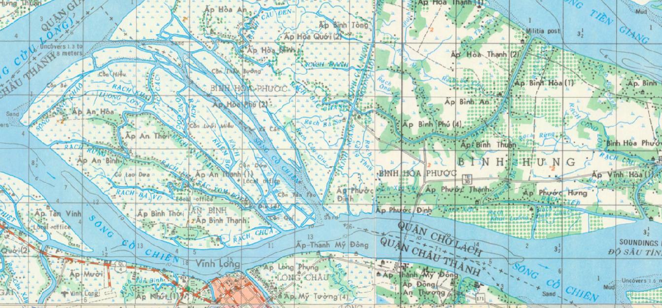
Screenshots
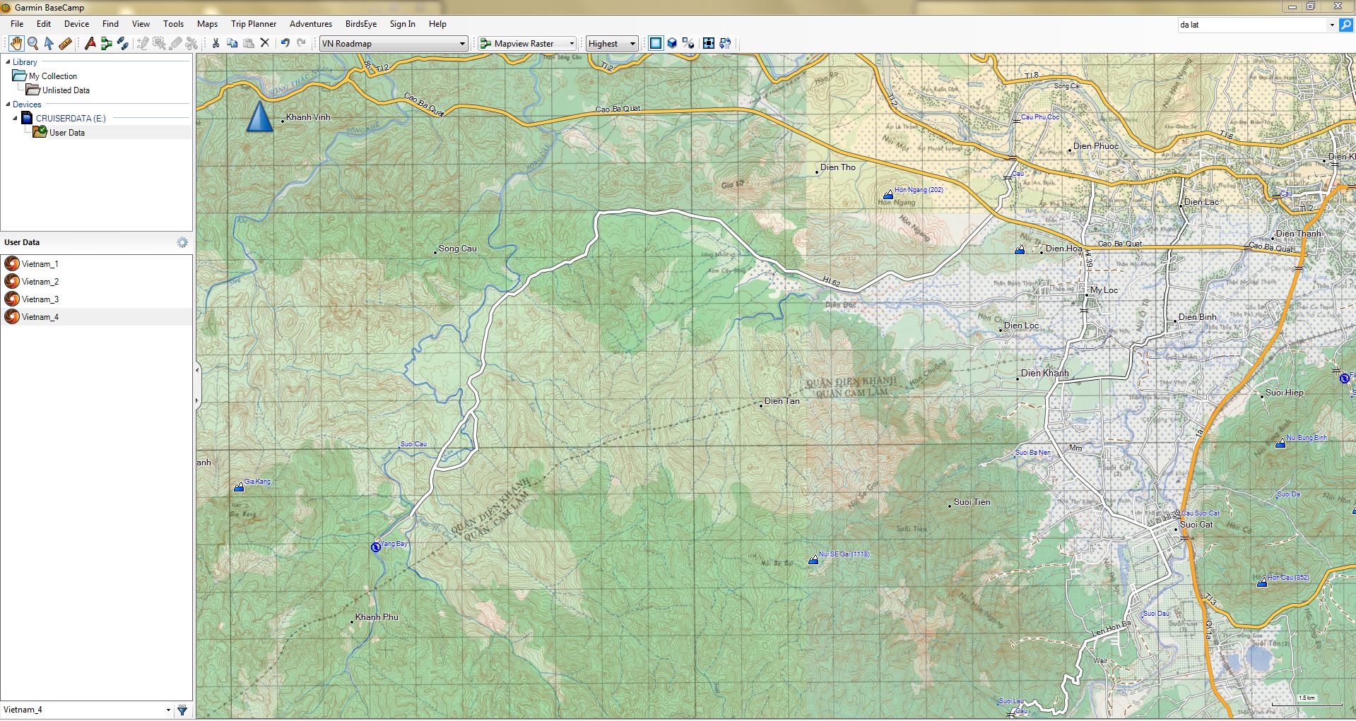
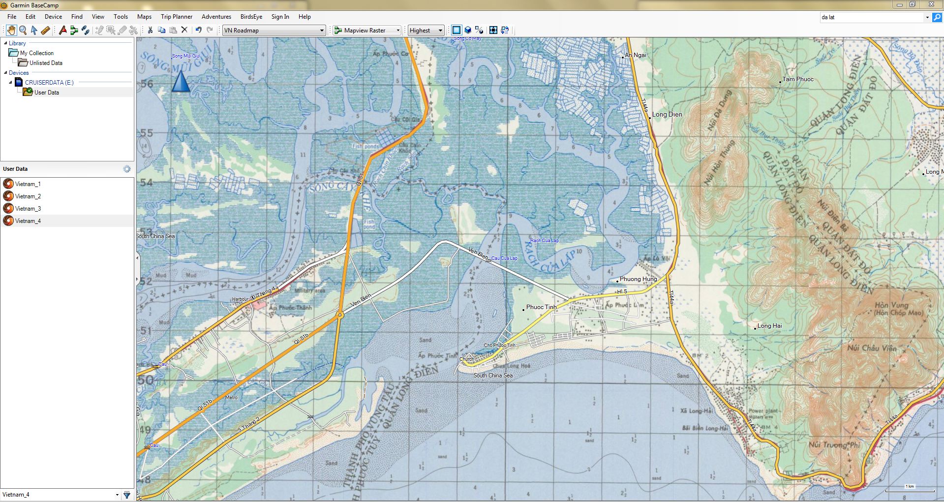
Screenshots of the TOPO50 as BirdsEye format in Garmin BaseCamp (click image to enlarge):
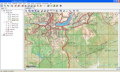
Screenshots of the TOPO50 on PC application (click image to enlarge):

Digital map creation, georeferencing and rectification, reprojection, file creation to particular raster map format by WILDGOOSE GPS and Navigation Service.
For purchasing and further information please contact office@gps-vietnam.net.