Vietnam AIR500
The Vietnam AIR500 is a small-scale topographic map for aeronautic activities or for overview planning of other activities.
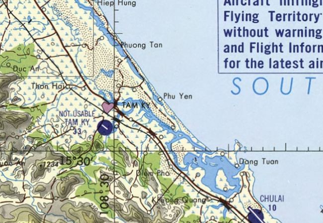
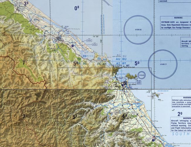
The map image of this digital map product is the Tactical Pilotage Chart of the US Army Map Service in scale 1:500.000.
Actuality of map content of this chart, air information and vertical obstructions are base on information of 1983 to 2001 according to the map sheets. Therefore this map is not usable for navigation in aircrafts. Pilots should consult NOTAMS and Flight Informations Publications for the latest air information.
- Covers whole Vietnam in 1:500.000 topographic map
- Ready-to-use map, no installation needed
- Works with every navigation device or navigation/GIS application supporting the ECW raster map format
- Map image is produced by US Army Map Service, 1983 - 2001
- Referenced in WGS84 map datum and in Mercator projection
Map Formats
This map product is available in the following map formats:
- ECW file format for TTQV, Fugawi, CompeGPS and others
- BirdsEye/JNX file format for Garmin GPS units and BaseCamp
In each format the map consist of one file. Filesize in ECW is approx. 170 MB and in JNX approx. 116 MB.
Important note: In order to use these maps on your Garmin device you must have a valid BirdsEye subscription for your GPS unit. For the use with BaseCamp only no subscription is necessary.
Sample files can be downloaded here: