Oman Maps
Oman topographic map 1:500.000
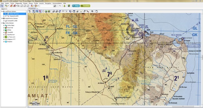
This map covers the whole Oman. The image is the Tactical Pilot Chart of the US Army Map Service in scale 1:500.000. Ideal for tour-planning and offroading in the Oman.
The map is available in:
- BirdsEye/JNX file format for Garmin GPS receiver and BaseCamp
- ECW file format for TTQV, Fugawi, CompeGPS and others
- SQLITEDB file format for LOCUS and LOCUS PRO application on android devices

Oman topographic map 1:1.000.000
The map image is the Operational Navigation Chart of the US Army Map Service in scale 1:1.000.000. This map is fine for general tour planning or as overview map for any kind of activity in Oman.
The map is available seamless in one piece (file) in the format ECW only. On request we can also produce other formats. Map is projected to geographic projection with map datum WGS84.
Note: A free POI file for Garmin GPS receiver in gpi-format is available in Ebooks & Stuff. This file is just to copy/paste to the GPS receiver.